“We mistakenly used wrong world map”: Israel rectify mistake, issues new GFX showing Kashmir as Indian territory
Tel Aviv [Israel], June 15 : The Israel Defense Forces (IDF) on Saturday issued a new graphic showing Kashmir as Indian territory, rectifying their previous mistake.
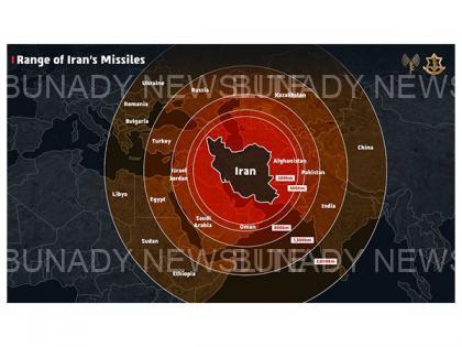
The IDF on Friday posted a map that incorrectly depicted Jammu and Kashmir as part of Pakistan, sparking widespread outrage in India.
Lieutenant Colonel Nadav Shoshani, IDF International Spokesperson, acknowledged the error, stating that they “mistakenly used the wrong world map” while focusing on neutralising the nuclear threat. He expressed gratitude to Indian netizens on X for pointing out the mistake....READ THE FULL ARTICLE/CONTENT HERE
𝙍𝙚𝙖𝙙 𝙩𝙝𝙚 𝙇𝙖𝙩𝙚𝙨𝙩 𝙎𝙥𝙤𝙧𝙩 𝙏𝙧𝙚𝙣𝙙𝙨 𝙖𝙣𝙙 𝙂𝙚𝙩 𝙁𝙧𝙚𝙨𝙝 𝙪𝙥𝙙𝙖𝙩𝙚𝙨 𝙖𝙨 𝙩𝙝𝙚𝙮 𝙙𝙧𝙤𝙥 𝙫𝙞𝙖 [𝙏𝙬𝙞𝙩𝙩𝙚𝙧] 𝙓 𝙖𝙣𝙙 𝙁𝙖𝙘𝙚𝙗𝙤𝙤𝙠 Now.

Join Our WhatsApp Channel
To join: Simply click on the link below and turn on notifications to receive the latest scholarship, job, and opportunity updates instantly.
Join WhatsApp Channel